Start here
Pick your water.
58 lakes and reservoirs and 7 rivers and streams are indexed by name, county, and region. Type a water, a county, or the town you are driving from.
The big water
Where Alabama actually fishes.
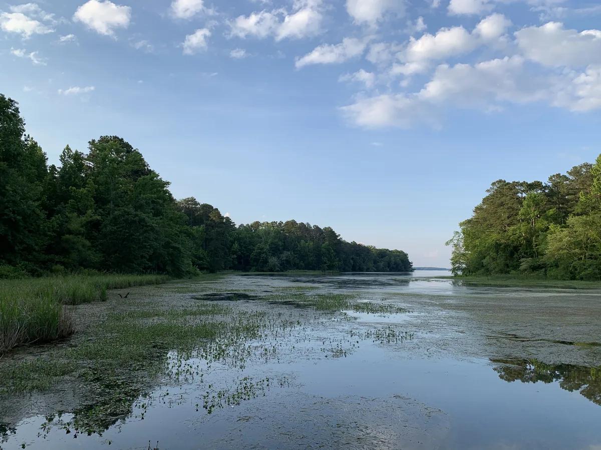
Lake Guntersville is a 69,000-acre TVA impoundment on the Tennessee River that produces giant bass year-round, thanks to milfoil and hydrilla beds that give baitfish cover and hold largemouth shallow longer than almost any lake in the South.
Photo: KyleRobles / Wikimedia Commons, CC BY-SA 4.0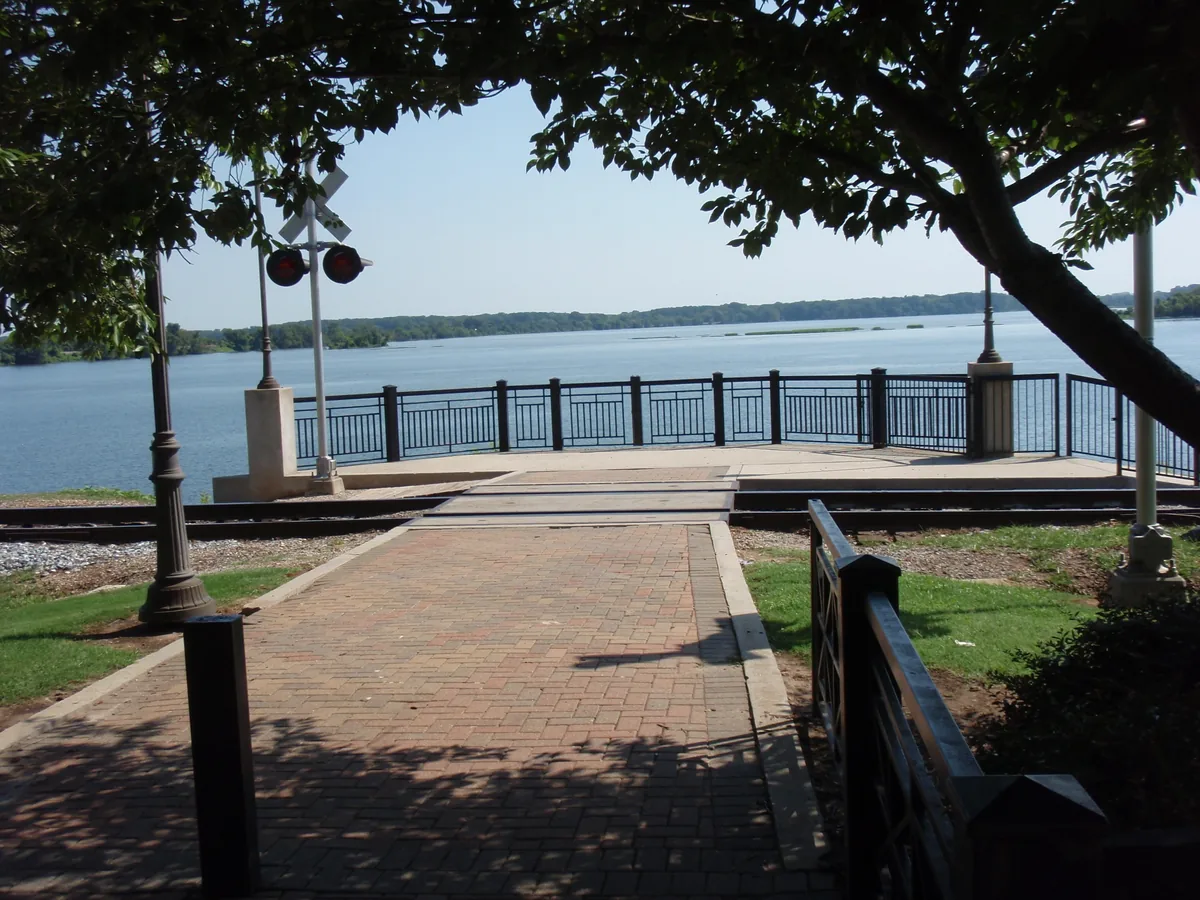
Wheeler Lake is a 67,100-acre TVA impoundment on the Tennessee River, closed by Wheeler Dam in 1936 and built for crappie, largemouth, and tailwater smallmouth, with Wheeler National Wildlife Refuge wrapping much of the shoreline.
Photo: National Trails Office (US National Park Service) / Wikimedia Commons, Public domain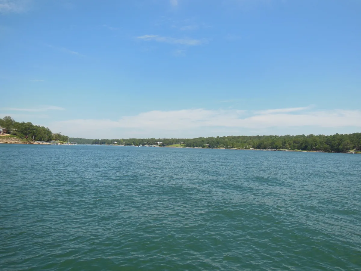
Lewis Smith Lake is a 21,200-acre Alabama Power reservoir on the Sipsey Fork of the Black Warrior, impounded by Smith Dam in 1961 — 264 feet deep, gin-clear, and the Southeast's best deep-water spotted bass fishery.
Photo: Quintaped / Wikimedia Commons, CC BY-SA 4.0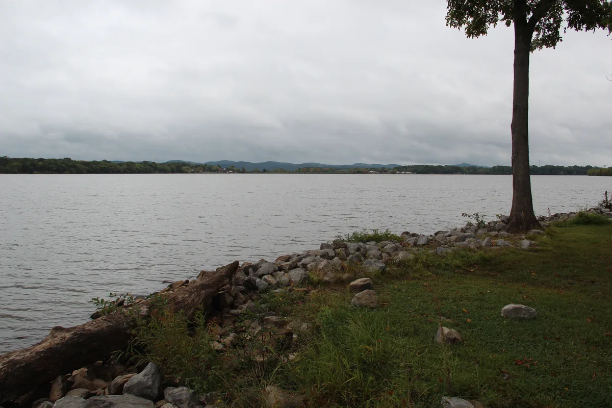
Weiss Lake is the Crappie Capital of the World — 30,200 acres of Coosa River impoundment that out-produces every Alabama lake for crappie and stacks ledge bass and winter striper on the main channel.
Photo: Thomson200 / Wikimedia Commons, CC0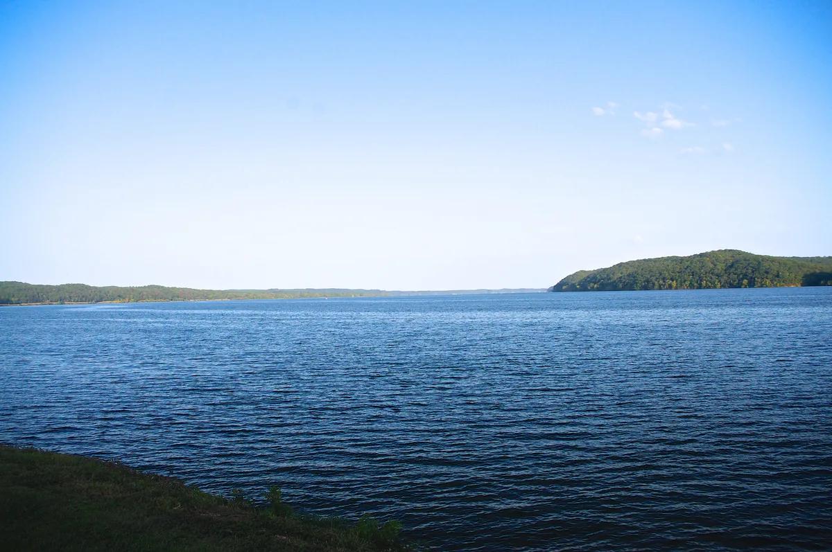
Pickwick Lake is a 43,100-acre TVA reservoir on the Tennessee River spanning Alabama, Mississippi, and Tennessee, closed by Pickwick Landing Dam in 1938 and built around current, rock, and the Wilson Dam tailwater smallmouth fishery.
Photo: Brian Stansberry / Wikimedia Commons, CC BY 4.0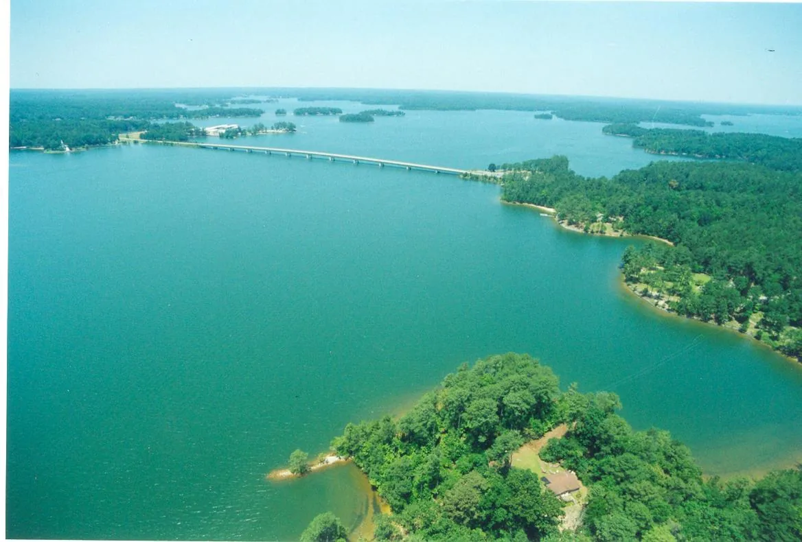
Lake Martin is 44,000 acres of clear, deep Tallapoosa River water — the South's oldest commercial hydroelectric reservoir (1926) and a spotted bass factory that runs from Alexander City down to the Kowaliga bridges.
Photo: Miller Dark / Wikimedia Commons, CC BY-SA 3.0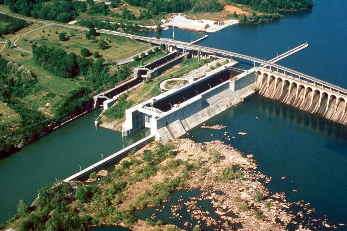
Wilson Lake is a 15,500-acre TVA reservoir on the Tennessee River, closed by Wilson Dam in 1924 — the oldest dam under TVA administration — and fished nationally for big smallmouth between Wheeler Dam upstream and Wilson Dam at Florence.
Photo: George Green, U.S. Army Corps of Engineers / Wikimedia Commons, Public domain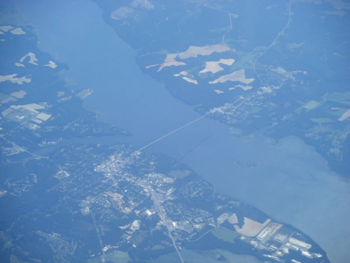
Lake Eufaula is a 45,181-acre Corps of Engineers impoundment on the Chattahoochee River, closed in 1963 by Walter F. George Dam and recognized as the Big Bass Capital of the World.
Photo: Dough4872 / Wikimedia Commons, Public domainScoring now
The bite board.
Twelve waters carry a live gauge. Water temperature comes from USGS, barometric trend from NOAA, and the rest is solunar timing and moon phase. When a reading goes stale, the lake drops off the board instead of guessing.
Reading the latest cron snapshot…
Full board & methodBy region
Three Alabamas.
The rest of the Atlas